
Lakeville Neighbors Source Trail
Different sources describe different parts of a Lakeville block. The county property viewer shows tax parcels and current parcel-associated details. The ArcGIS service supplies parcel geometry and fields, not a people list. MNVotes is a one-person registration match. A formal voter-list request is a regulated route, not a public block query. Planning maps explain geographic context, and community pages can identify public contact paths without proving membership. Start with the source that matches the question.
| Block source | What it can show about Lakeville neighbors | Access and boundary |
|---|---|---|
| County property viewer | Parcel boundaries, situs, tax owner or mailing address, tax and building panels | Free parcel-by-parcel search; owner is not necessarily an occupant |
| ArcGIS parcel layer | Polygon geometry, TAXPIN, SITEADDRESS, municipality, legal description, and tax fields | Public map/query service; one parcel is not one household |
| MNVotes lookup | One named person's registration match and address context | Name, date of birth, and address fields required; no block browser |
| SOS walking-list request | Authorized street-sorted voter output and district fields | Signed lawful-use request; not searchable online publication |
| Community contacts | Public civic, business, or association contact routes | They do not establish household membership or residency |
For Lakeville neighbors, a property record can support a carefully dated owner or tax-mailing role. It cannot identify all present occupants. A map can demonstrate that two parcels touch. It cannot establish a social relationship, membership, or a current household. Keeping that distinction at the beginning prevents the rest of the block search from overreaching.
Lakeville Neighbors by Property Role
Use Dakota County Property Information after the map click to see the fields attached to one parcel. The county workflow supports an address or Parcel ID search and can return the site address, owner or taxpayer, owner mailing address, legal description, building characteristics, tax information, school district, and watershed district. A parcel may be held by a trust or entity, may contain more than one unit or building, or may carry a mailing address away from the site. Those are reasons to report the record role plainly.
For example, “tax owner shown on county property detail, with the retrieval date noted” is a narrower and more accurate note than “neighbor lives here.” A homestead entry is also contextual rather than a live occupancy check. If the record points toward an ownership history question, compare the legal description with a recorded instrument. If the question is a community connection, use a public group contact page rather than property data.
Lakeville Neighbors Voter Boundary
MNVotes can help a named person confirm registration status and address context, but it is not an address-only neighbor lookup. The public interface requires first name, last name, date of birth, plus ZIP or county, city or township, house number, street, and a unit when applicable. Its nightly update cycle and registration-processing time mean that a no-match is not a conclusion about the block. Full date of birth is required for the lookup but is not a public voter-list field.
The street-level alternative has a different legal route. Under Minn. Stat. § 201.091, an eligible requester can use the Secretary of State form for a walking list sorted by street. The research records $30 for a local list and $46 statewide, a signed lawful-use certification, and restrictions on searchable online publication. That is a controlled civic-record route, not material to copy into a Lakeville neighbors page or share as a block roster.
Note: registered voters are only one record category. Unregistered people and protected voters can remain outside any permitted output.
Lakeville Neighbors Parcel Workflow
The county GIS provides a lawful way to define a small block sample. Locate the target parcel, turn on tax-parcel boundaries, zoom only far enough to see adjoining polygons, and note the next Parcel IDs and street-facing situs addresses. Then research every parcel independently. The map relation is the evidence for adjacency; the parcel card is the evidence for a tax-record role. Do not merge several parcels into a household list.
- Find the address in the Dakota County property map and record the target parcel's site address and TAXPIN.
- Select the tax-parcel layer, zoom to the immediate block, and identify only the adjoining polygons needed for the question.
- Click each nearby parcel separately. Preserve the returned situs, municipality, legal description, and tax-owner or mailing role with the map date.
- Use the parcel card's homestead and mailing fields only as contextual tax information, never as a claim that a person is currently present.
- When the question covers a full named road rather than an immediate block, move to the Lakeville street directory workflow.
The official Dakota County ArcGIS property service exposes parcel-layer geometry and queryable fields. It is useful evidence for the relationship among parcels, but it deliberately does not supply an occupancy roster.
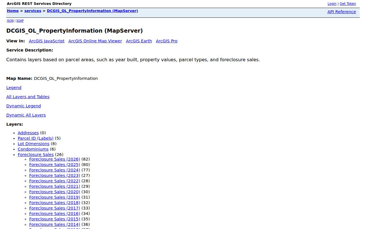
The service view illustrates the appropriate use of a neighbor map: adjacent tax parcels can be shown, while occupancy and association membership remain undetermined.
Lakeville Neighbors District Context
Lakeville's comprehensive plan has seven neighborhood planning districts. They help explain a block's physical and service context, but they are not homeowner-association lists. The northwest District 1 includes rural neighborhoods that predate incorporation, wetlands, rolling terrain, tree cover, and three lakes; it is bounded in part by I-35, Kenwood Trail, and Orchard Lake. Other district names and boundaries should be read from the current plan map rather than guessed from a subdivision name.
This is a useful local myth to correct: a planning district does not identify an association, member list, or every neighbor on a road. Lakeville's MUSA boundary, watershed, school district, and postal route are additional overlays that may shape an address's context. They remain geographic or service information, not a household directory.
Use the Lakeville land-use plan for the planning framework and keep the plan's date with any boundary note.
Lakeville Neighbors Community Contacts
No complete official Lakeville neighborhood-association inventory or member roster was located. Public community sources can still help a person identify how an area organizes, as long as they are described as contact or business context rather than resident evidence. The city quicklinks point to civic resources, including the Downtown Lakeville Business Association, sports associations, and arts affiliates. The Chamber offers a business directory. A Jonathan association contact document identifies public subassociation contacts such as Clover Ridge Village and Eastlake.
| Lakeville community source | Public information it supports | What it does not support |
|---|---|---|
| City quicklinks | Civic, arts, sports, and community navigation routes | A citywide member or household list |
| Lakeville Chamber | Business-directory and civic connection information | Residency, block membership, or a neighborhood roster |
| Jonathan association contact document | Association-maintained public contact paths, including Clover Ridge Village and Eastlake | Government verification, dues, or member identities |
When a public association contact page exists, use the group’s own page for its current route. Do not reconstruct private contact lists from snippets, and do not treat an organization name as proof that a particular Lakeville neighbor belongs to it.
Lakeville Neighbors Source Comparison
Official parcel and election tools have defined fields, custodians, and limits. Commercial neighbor-lookup categories usually blend public, commercial, and uncertain data into a convenience result. That difference is practical: a current county parcel card can be checked against its map and tax date, while a generic commercial result may not reveal when it was collected, what role it represents, or whether it belongs to the right person.
| Source category | Useful Lakeville-block question | Limit to keep visible |
|---|---|---|
| Official parcel and GIS records | Which tax parcels adjoin an address, and what role is recorded for each | Not a current occupancy or social-connection list |
| Official voter route | One registration match or a certified, authorized street-sorted request | Identity inputs, certification, and nonpublication rules apply |
| Historical directories | Who was listed at an address in a stated historical volume | Subscriber conventions and date gaps matter |
| Commercial neighbor-lookup category | A lead to verify independently | May be stale, incomplete, mismatched, or unclear about source and date |
For Lakeville neighbors, the safer practice is to verify a narrow public fact with the relevant custodian and preserve the source date. Do not turn mixed commercial results into a definitive household statement.
When two sources disagree, keep the conflict visible instead of selecting the most convenient answer. A Lakeville ArcGIS polygon may match the land while an older directory reflects a different time, and a tax mailing field may have a purpose unrelated to the block. The right next step is the custodian record or a dated historical source, not a broader data sweep.
Lakeville Neighbors Privacy Limits
Some parts of a block should remain outside a public lookup. County GIS does not publish an occupancy roster. MNVotes does not create a public address-only block search. Minnesota's Safe at Home program protects eligible participants' addresses, and a protected voter should never be pursued through map clues. Utility customers, delivery recipients, driver-license addresses, private association membership, and many other personal details are not open layers. An absent entry does not establish that no one is there.
Use the smallest amount of information necessary for a personal, civic, or historical question. Avoid republishing names, exact personal details, or a copied street-sorted list. When a record needs correction, ask its custodian through the appropriate process instead of broadening the search. Minnesota Government Data Practices Act access is not permission to defeat a confidentiality program.
Lawful use. Lakeville neighbor research is for careful personal, historical, and civic understanding. Never use parcel, voter, or community information to watch, harass, intimidate, or locate a protected person.